
1 min read
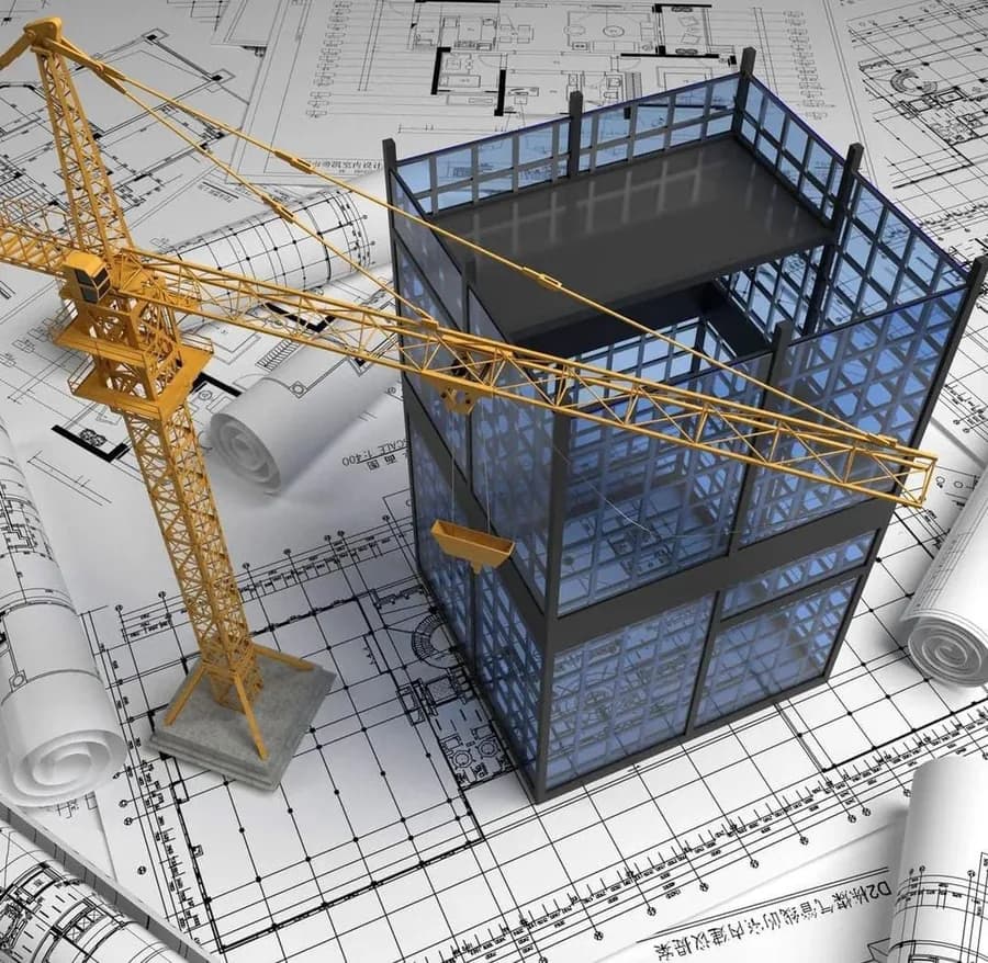
Identifying optimal construction plans and keeping the environment under control.
GIS supports construction planning and plays an important role in identifying optimal construction plans and keeping the environment under control.
GIS provides engineers and planners with valuable information to plan project infrastructure and to resolve questions of site selection, land use, transport and construction quickly.
This helps construction projects become more efficient and more financially productive.