
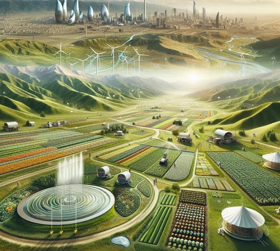
“What to plant?” and “on which soil?” — decision support through digital analysis of land.
Land resources are regarded as one of the essential elements of every country’s existence and potential. Restoring the health of our soils, protecting them and using them efficiently has always been a priority. Specialists in this field are constantly looking for ways to achieve high yields without damaging the soil and to protect it from substances harmful to cultivation.
Geographic Information Systems (GIS) play an important role by finding solutions to these problems. A wide range of solutions to agricultural problems exists within GIS services. Land is compiled in digital form, and topographic and geodetic data is combined with statistical data to make soil analysis easier.
By gathering and processing statistical data and samples, Geographic Information Systems make it possible to take decisions such as “what to plant?” and “on which soil to plant?”. In that respect, the application of GIS in agriculture is permanently relevant.