
AZCİS MMC — Since 2013
We manage space with data,infrastructure with precision.
With geographic information systems, engineering survey and infrastructure solutions, we turn complex spatial data into precise decisions.
28.01.2013
Since 2013
Core discipline
Geographic Information Systems
Licences
Design, construction & installation, information systems
Platform
ArcGIS implementation and training courses
Services
One team, one coordinate system
From GIS to engineering survey, from construction and installation to electrical distribution networks and drone capture — one team, one coordinate system.




Solutions
Six categories, thirty solutions
Our own discipline is geographic information systems and engineering work. Alongside it, solutions across infrastructure, communications, security, software, smart systems and analytics are available through AZCİS.
GIS — OUR CORE DISCIPLINE
We read the territory. We structure the data. We sharpen the decision.
Geographic Information Systems (GIS) are systems for the collection, storage, analysis and graphical visualisation of spatial (geographic) data and of the information about the objects connected to it.
The five foundations of GIS
- 01Hardwarehardware
- 02Softwaresoftware
- 03Datadata
- 04Human resourceshuman resource
- 05Methodsmethods
Building the information resource across these five principles is the essential condition.
LAYERS
SHEET CELL
—
VISIBLE
6/6
1:5000
PLATFORMA
AXİS — towards the whole utility network
Azərişıq Xəritə ilə İdarəetmə Sistemi
AXİS is a country-scale GIS platform already in operation at Azərişıq: it brings 2D/3D mapping, panoramic imagery, a mobile field application and reporting together on one screen.
The AXİS platformApplication areas
Where GIS is applied
GIS solutions apply wherever management, planning and infrastructure decisions are made.

Urban and regional planning
Design and monitoring of engineering networks, and urban development.
Learn more
Economic development
Economic assessment through analysis of social, economic and topographic characteristics.
Learn more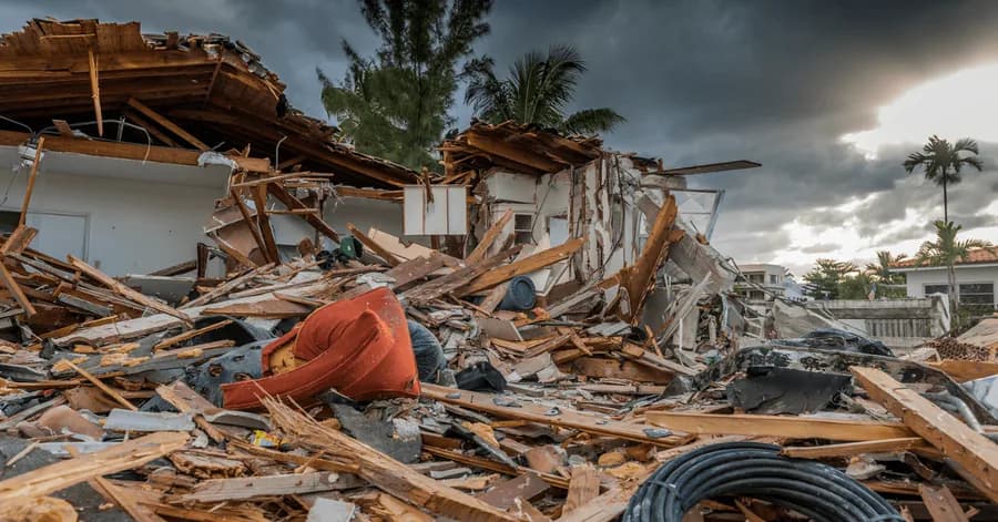
Emergencies and natural disaster response
Risk management, disaster modelling and hazard-zone assessment.
Learn more
Law enforcement and security agencies
Terrain analysis, navigation and crime mapping.
Learn more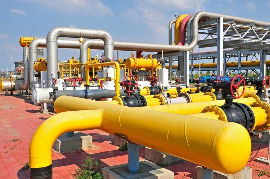
Oil and gas industry
Geological exploration, pipeline monitoring and design.
Learn more
Roads, highways and transport
Route optimisation, logistics and road safety.
Learn more
Projects
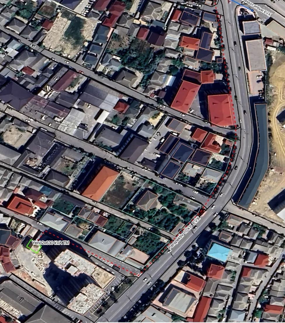
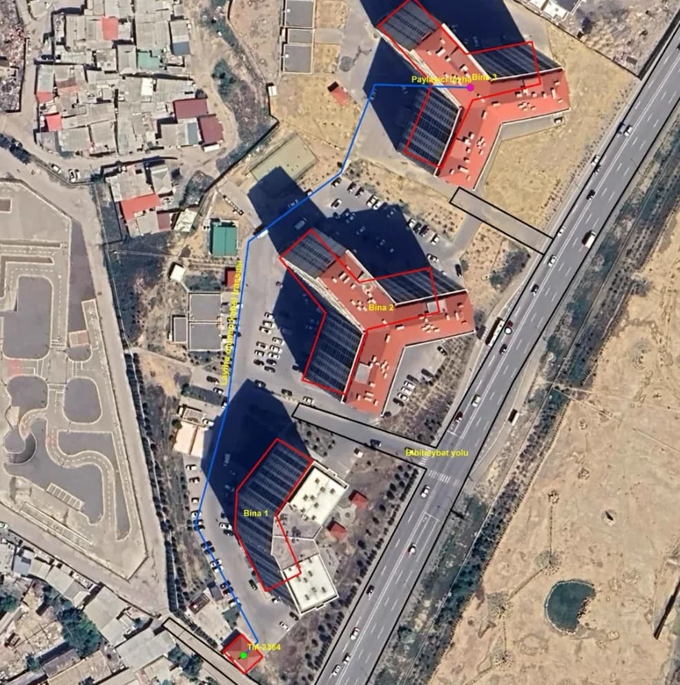
Work delivered on site

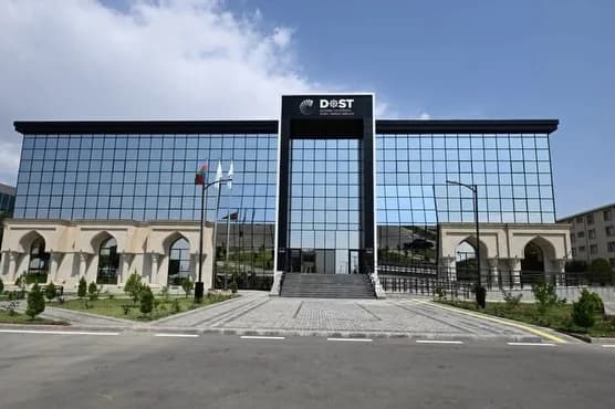

Our strengths
Precision is how we work.


OUR TEAM
One team. Shared precision.
Behind the projects stands a single team working across a range of disciplines.
Meet the team
01Abdullayev OrxanExecutive Director 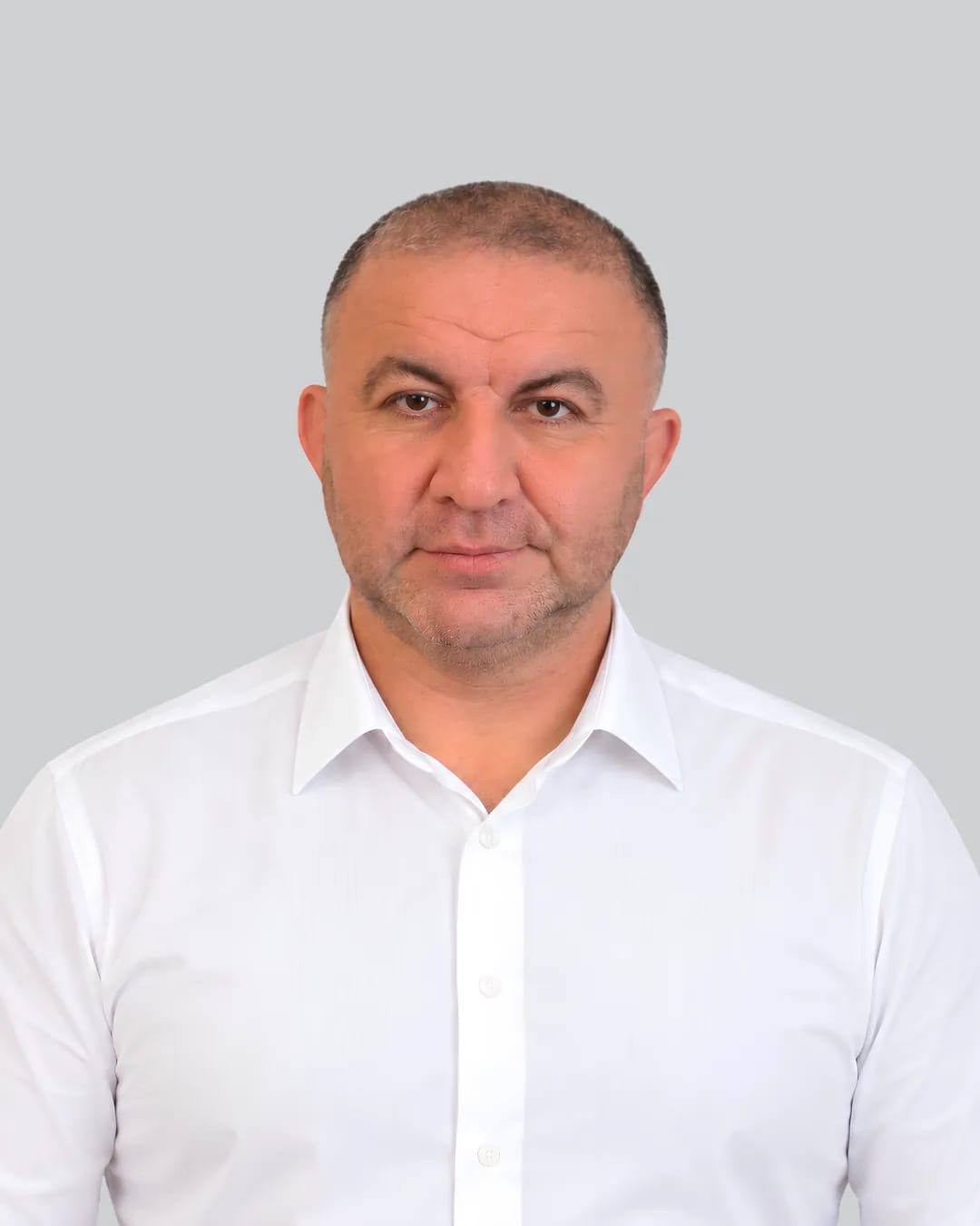
02Manafov FuadProject Manager 
03Mürsəliyeva NigarQuality Control and Document Management Specialist
Licences and permits
Our activity is certified by state licences
Our activity is certified by the relevant state licences.
Learn more
İN/L-18/2023
Ministry of Economy of the Republic of Azerbaijan
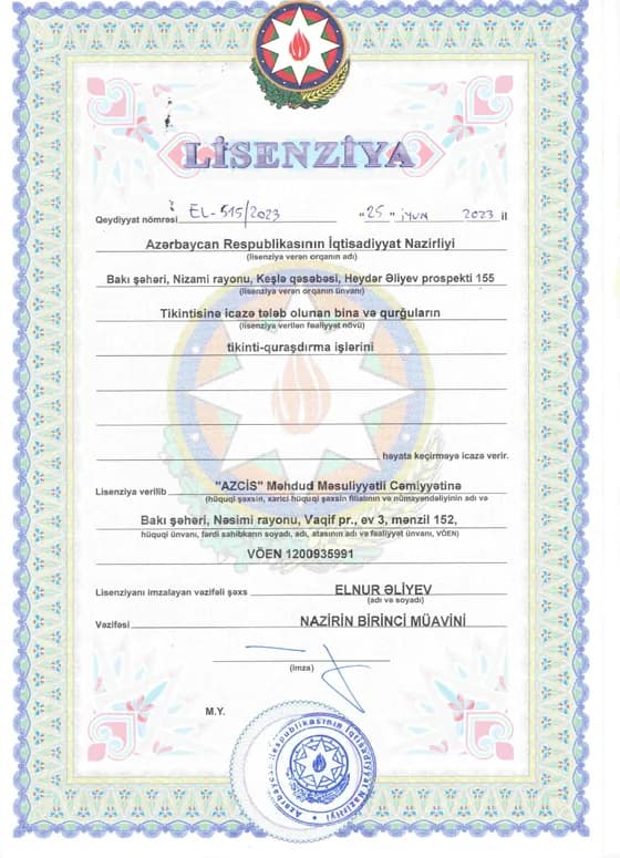
EL-515/2023
Ministry of Economy of the Republic of Azerbaijan
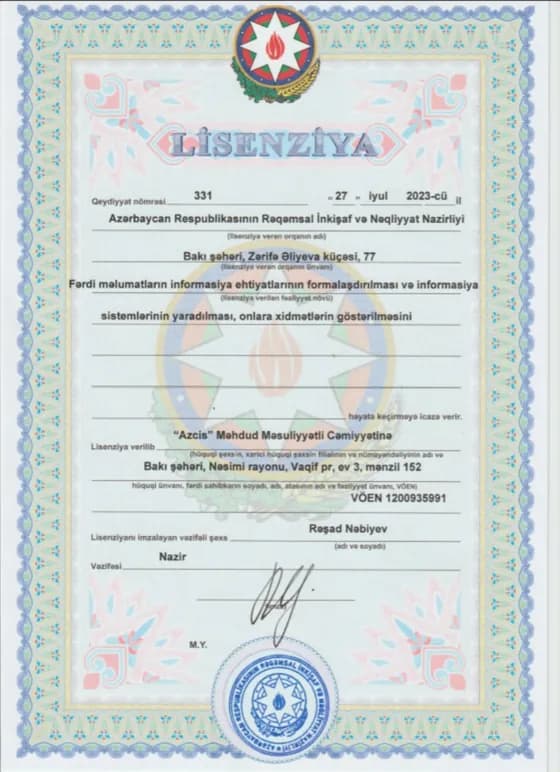
331
Ministry of Digital Development and Transport of the Republic of Azerbaijan
Partners
We work alongside state institutions and industrial companies.









Blog
We write about GIS
Our writing on how GIS is applied across sectors.



Let us put your project on the map.
Get in touch with the AZCİS team about your infrastructure, engineering or geospatial project.