

AZCİS LLC
We read the territory.We build infrastructure with precision.
Geographic Information Systems (GIS) are systems for the collection, storage, analysis and graphical visualisation of spatial (geographic) data and of the information about the objects connected to it.
About AZCİS
Founded
28.01.2013
Legal name
AZCİS Limited Liability Company
Address
Vaqif Avenue 3, Nasimi district, Baku, Azerbaijan
AZCİS LLC was established on 28.01.2013. The company works across several fields of activity, the principal one being Geographic Information Systems.
Geographic Information Systems (GIS) are a complete information system for the collection, processing, storage, preparation, cartographic presentation and distribution of data related to any location. As the most suitable instrument for solving scientific, educational and practical problems involving geographic data, GIS adoption is growing very rapidly in the modern information society.
One of the company’s principal aims is the creation and implementation of GIS, the delivery of GIS training for our clients’ experts, and the provision of technical support services.
Meet our teamGIS — OUR CORE DISCIPLINE
Geographic Information Systems
Geographic Information Systems (GIS) are systems for the collection, storage, analysis and graphical visualisation of spatial (geographic) data and of the information about the objects connected to it.
The five foundations of GIS
- 01Hardwarehardware
- 02Softwaresoftware
- 03Datadata
- 04Human resourceshuman resource
- 05Methodsmethods
Building the information resource across these five principles is the essential condition.
LAYERS
SHEET CELL
—
VISIBLE
6/6
1:5000
Timeline
From 2013 to today
28.01.2013
2013
AZCİS LLC was established.
Today
13+
Continuous work across GIS, engineering survey, construction and installation, electrical networks and drone services.
Core strengths
Precision is how we work.
- 01
13+ years of experience
Continuous work on GIS, engineering and infrastructure projects since 2013.
- 02
Punctuality
Delivery against the agreed schedule and stages.
- 03
Modern standards
The ArcGIS platform, GPS and Total Station survey instruments, the AzPOS base system.
- 04
Precise visualisation
Cartographic presentation and plan schemes in an exact coordinate system.
- 05
Spatial analysis
Decision support and risk assessment through spatial data analysis.
- 06
Effective solutions
Across every project stage — from survey through to setting out on site.
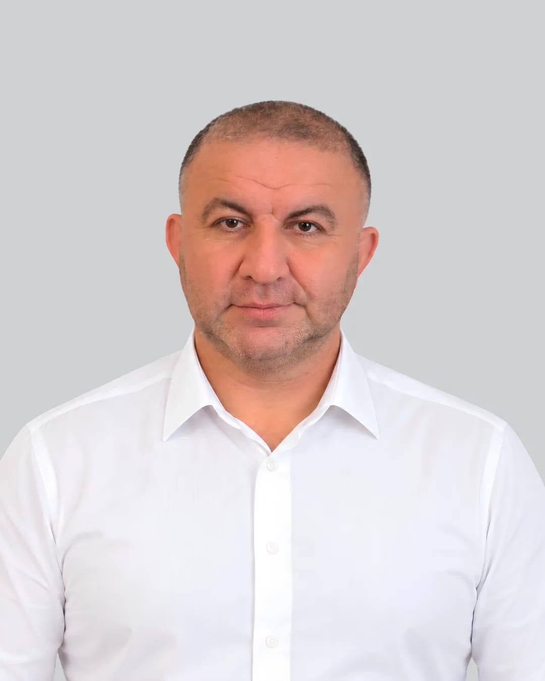
OUR TEAM
The people behind the precision.
Behind the projects stands a single team working across a range of disciplines.
01 — 13












Services
What we do
- 01GIS — Geographic Information SystemsCollection, storage, analysis and cartographic visualisation of spatial data.
- 02Engineering survey worksField investigation, geodetic and topographic survey, and mapping of the territory.
- 03Construction and installation worksEngineering utilities, special structures and power transmission lines.
- 04Design of electrical distribution networksArchitectural and engineering systems design, and preparation of cost estimates.
- 05Unmanned Aerial Vehicle (drone) servicesAerial capture, three-dimensional modelling and spatial data collection.
ArcGIS
AZCİS training courses

The company has many years of experience in GIS solutions. On that basis we run training courses in ArcGIS — the GIS software platform of the international ESRI corporation, built on a single integrated software architecture.
ArcGIS software is used for creating and working with maps, compiling geographic databases, distributing and processing geographic information, using maps and geographic data in a range of applications, and managing geographic information within a database.
It is applied in land management and land cadastre, property registration, utilities, emergency management, telecommunications, oil and gas, ecology, border service, transport, forestry, water resources, remote sensing, geology and mining, geodesy, cartography, geography, business, trade and services, agriculture, education, tourism and many other fields.
Work in information systems
The advanced experience of the professionals working at AZCİS allows us to deliver a wide range of processes and to offer the corresponding services in GIS implementation. The company is also active across various directions connected with Information Systems. These include the formation of the technological environment of information systems, the nature of that environment, its infrastructure, technical and software means, and questions around building information systems.
Our directions of activity also cover the nature and development stages of an information system, its classification, the role of the management structure, the stages of creating information systems, planning and the nature of planning, and the foundations and stages of strategic planning for information systems.
Beyond that, our work covers analysis of the external and internal environment of a system, and innovation within the informatisation environment — its nature, types and characteristics. AZCİS also delivers innovation in information systems, project formation and information-system implementation, management of innovation projects, deployment of automated information systems, and the formation of organisational structure.
Let us prepare precise solutions for your project.
Get in touch with the AZCİS team about your infrastructure, engineering or geospatial project.