
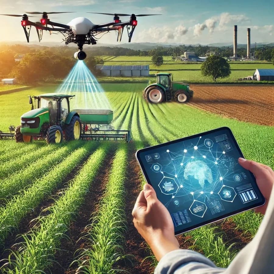
Yield forecasting through geographic analytics, satellite imagery and sensor data.
Geographic analytics and yield forecasting help farmers take more effective decisions using modern technology. Through Geographic Information Systems (GIS), data such as soil, water resources, weather conditions and vegetation cover is collected and analysed. These systems combine territorial maps, satellite imagery and sensor data to carry out precise analysis.
With this technology farmers can determine soil quality and plan the most suitable sowing periods in order to increase yield. By analysing weather forecasts, GIS can indicate the most suitable time for irrigation and fertiliser application. At the same time it becomes possible to identify the spread of pests and diseases in advance. Yield forecasts, meanwhile, estimate the expected volume of harvest on the basis of previous years’ data and current conditions.